Running to glacier views - Chugach National Forest, Alaska
A relatively short 45 minute car ride from Anchorage, Alaska gets you to Girdwood, Alaska that sits at the northwest edge of the Chugach National Forest. The Chugach National Forest is huge, covering nearly seven million acres, which also includes thousands of glaciers. While it's probably impossible to see them all, you can see a few glaciers up close on runs starting in Girdwood and Whittier, Alaska. Whittier is just a 35 minute drive from Girdwood, making it relatively easy to complete these runs in a single day.
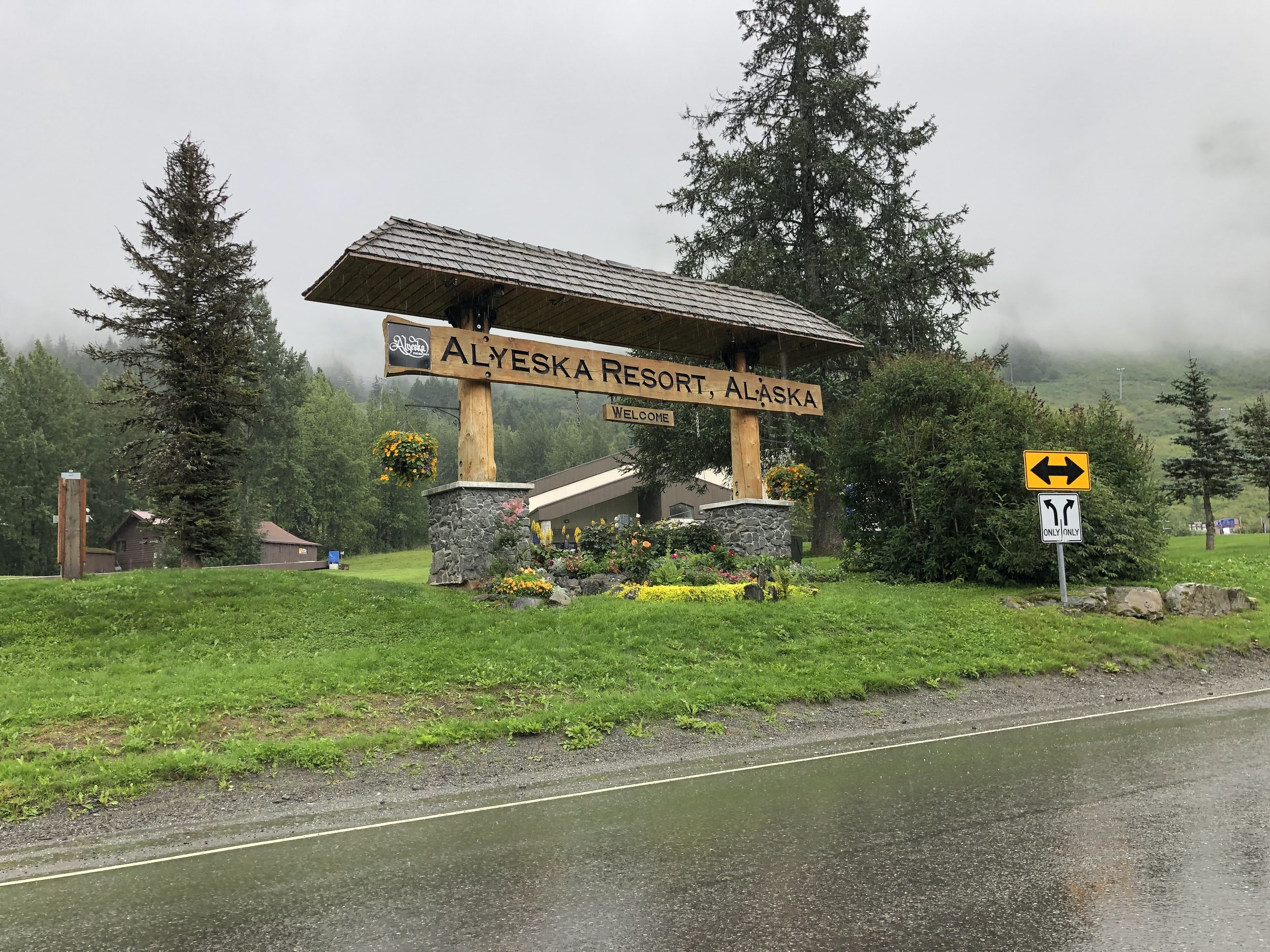
I made my way to Girdwood from Homer, Alaska where I spent a few days running in the Kachemak Bay State Park. Arriving later in the evening at the Alyeska Resort, I spent my time prepping my gear for the morning and downloading maps for my run. While there are a lot of runs that start from the resort, a run that caught my eye wasn’t listed in the resort trail map. I found the course at the Cirque Series website while searching for Alyeska trails. The Cirque Series is a collection of mountain runs, many held at ski resorts throughout the US, with a focus on serious elevation but not long distances. I have to admit though, after running the Alyeska course, I’m left to wonder how someone thought it was a good idea to hold a race on such steep terrain.
Rain storms were predicted to start at 12pm so I needed to be sure I was off the mountain by then. I didn’t want to be out on such a steep course with any amount of rain. As such, I planned to start my run at 8am. It’s just a few minutes drive from the resort to the Alyeska Resort Day Lodge where I parked my car. There were just a few other cars there, mostly RVs actually, with mountain bikes on their racks. From what I saw, this area is much more popular for mountain biking than for running. I only saw a few hikers during the day.
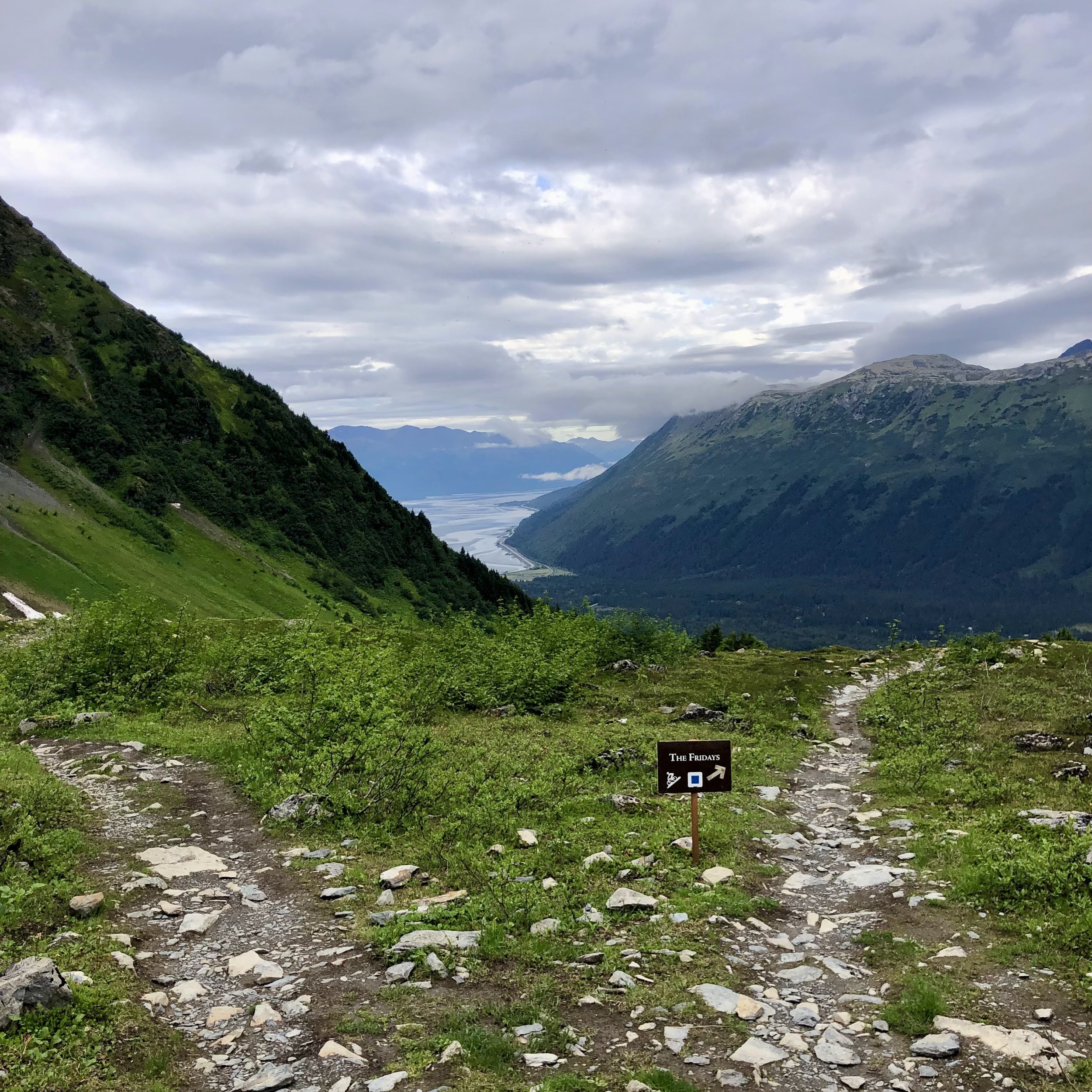
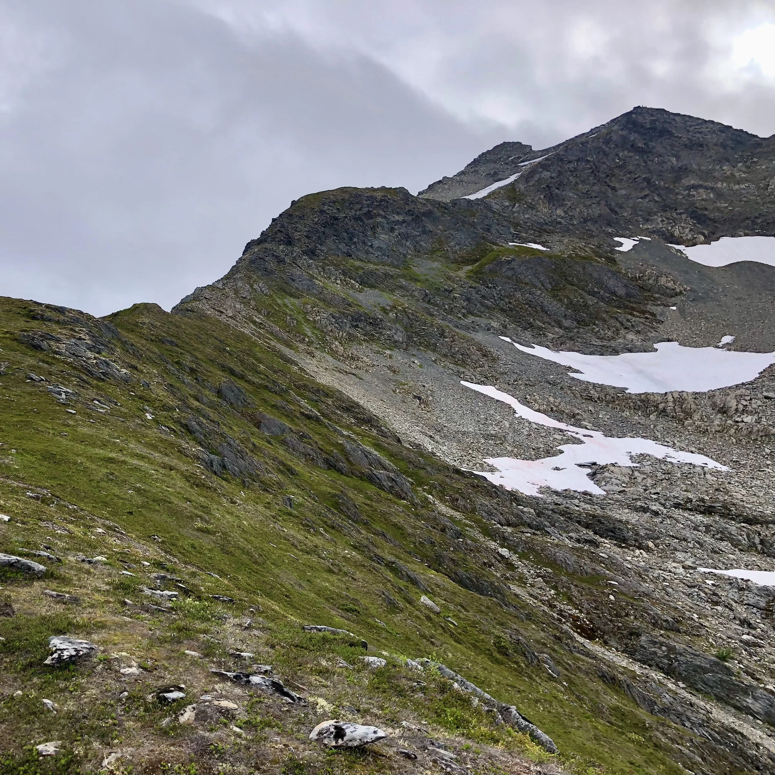
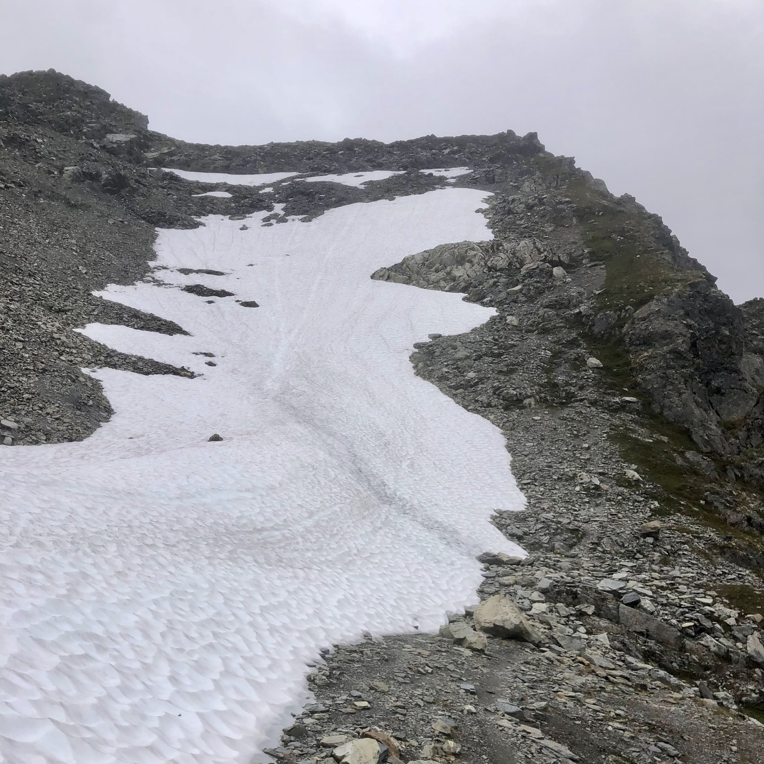
The run starts out easily on wide gravel roads heading up the mountain, but still pretty steep. In about 3 miles, one ascends around 3800 feet (1158m). As you get higher up, you hike on the more narrow mountain bike trails, which have smooth footing. I didn’t see any mountain bikers out this early either, so no risk of running into anyone. The point of no return is when you step off the mountain bike trail and go really vertical up center ridge. Since I’m not used to this kind of vertical, I got into scramble mode pretty quickly. By scramble, I mean being on all fours and keeping 3 points of contact at all times. I wore gloves because I figured it’d get rocky like this, but didn’t visualize just how difficult it’d be. There were three sections with fixed ropes I was really thankful for, but I also didn’t want to rely on them given I didn’t know who or when they were last maintained. There is a lot of loose rock, so you have to be really careful about what you are using for hand or footholds. The main thing that kept me going forward was that turning around and going back would be more terrifying trying to go down than up. I took my time and eventually made it to the peak. While really rewarding to get there, I was also just thankful to be past the hardest part. But, there were still some sketchy parts to come, including a descent on a short saddle, where there was also a rope to your left, but a very precipitous drop to your right.
My recommendation would be to not do this course, and especially not unless it hasn’t rained for at least a day. That being said, hundreds of people run this race and do alright, but I’m guessing that they are more experienced with this kind of terrain. In addition, the race is extremely well marked in the tough parts based on the pictures I saw. And, you get to see where the people ahead of you are going, so the combination of these things may make it easier. I did it alone trying to follow my GPS map, so maybe not the most optimal way for a first attempt :)
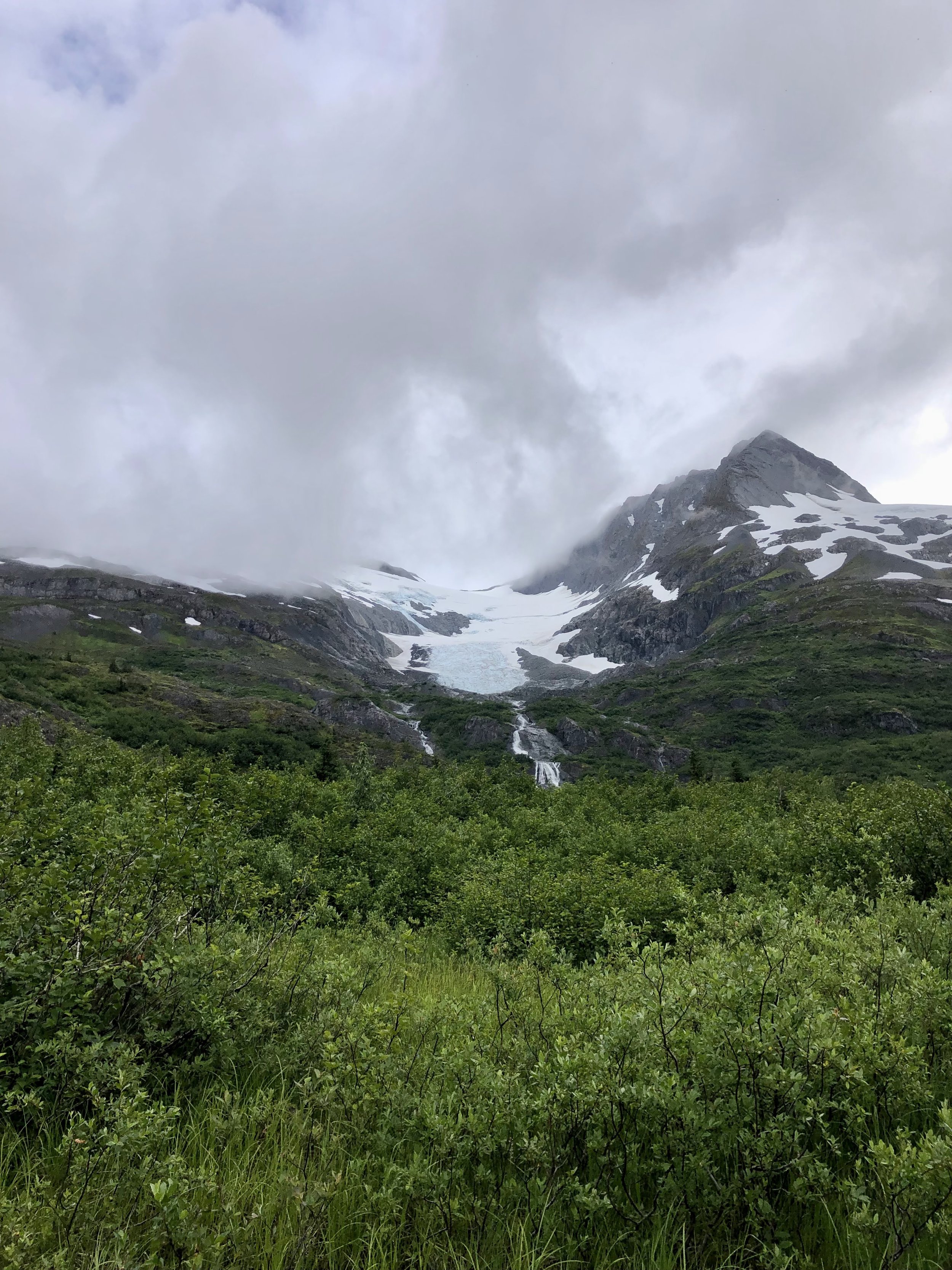
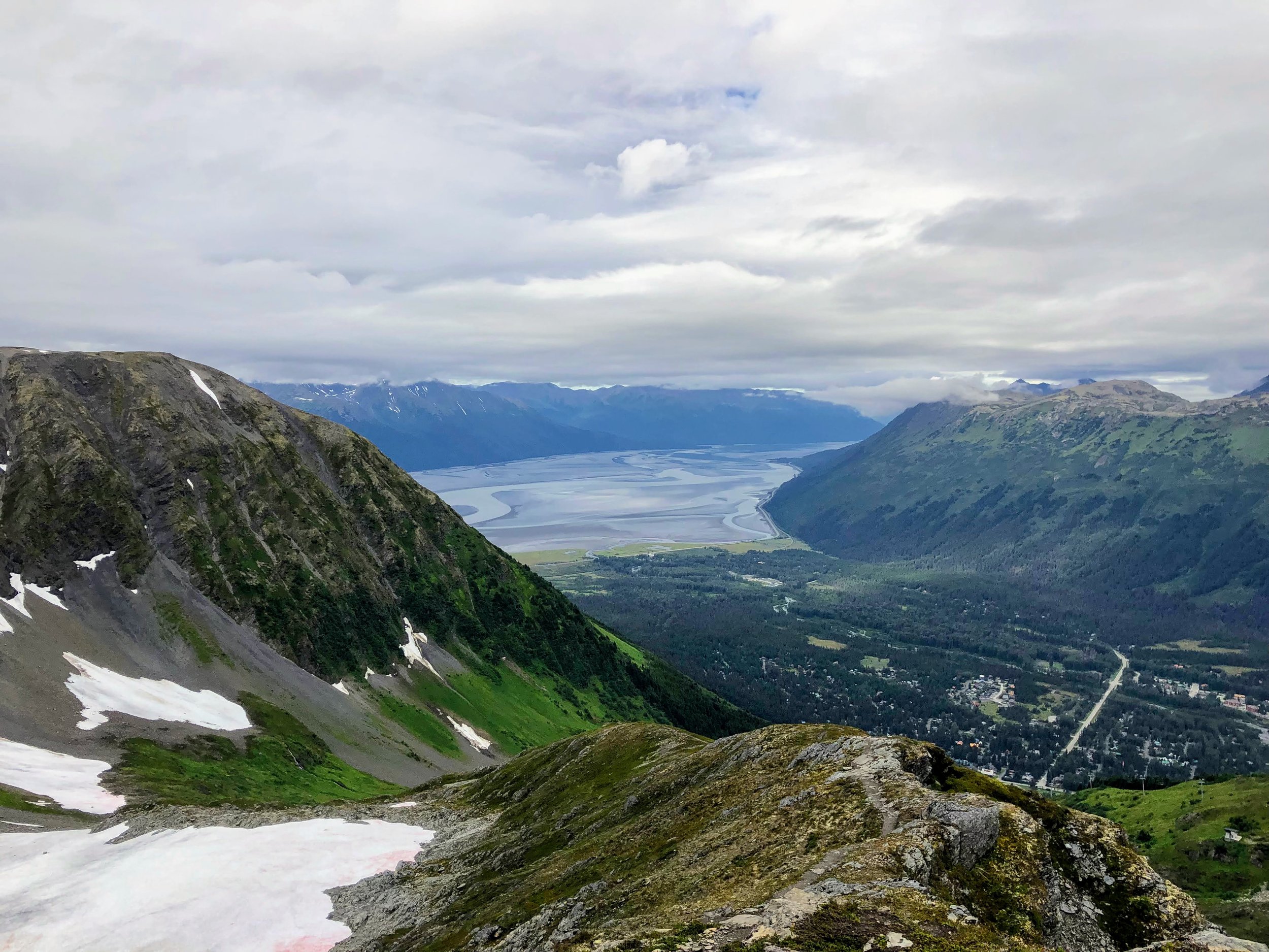
There are some huge payoffs running this course such as the commanding view of the Turnagain Arm, where Captain James Cook had to keep “turning again” in his boat because of the tide. This inlet has a massive tidal swell, second only in North America to the Bay of Fundy, that can be 40 feet (12m) in height. Besides the Turnagain Arm, you can also see multiple hanging glaciers. Girdwood used to be known as Glacier City, and you can see at least 7 named glaciers when up in the mountain. On the way up, it’s mostly rocky terrain, and then on the way down, there is dense forest with very steep trails. A very nice mix of terrain that’s never boring for one minute.
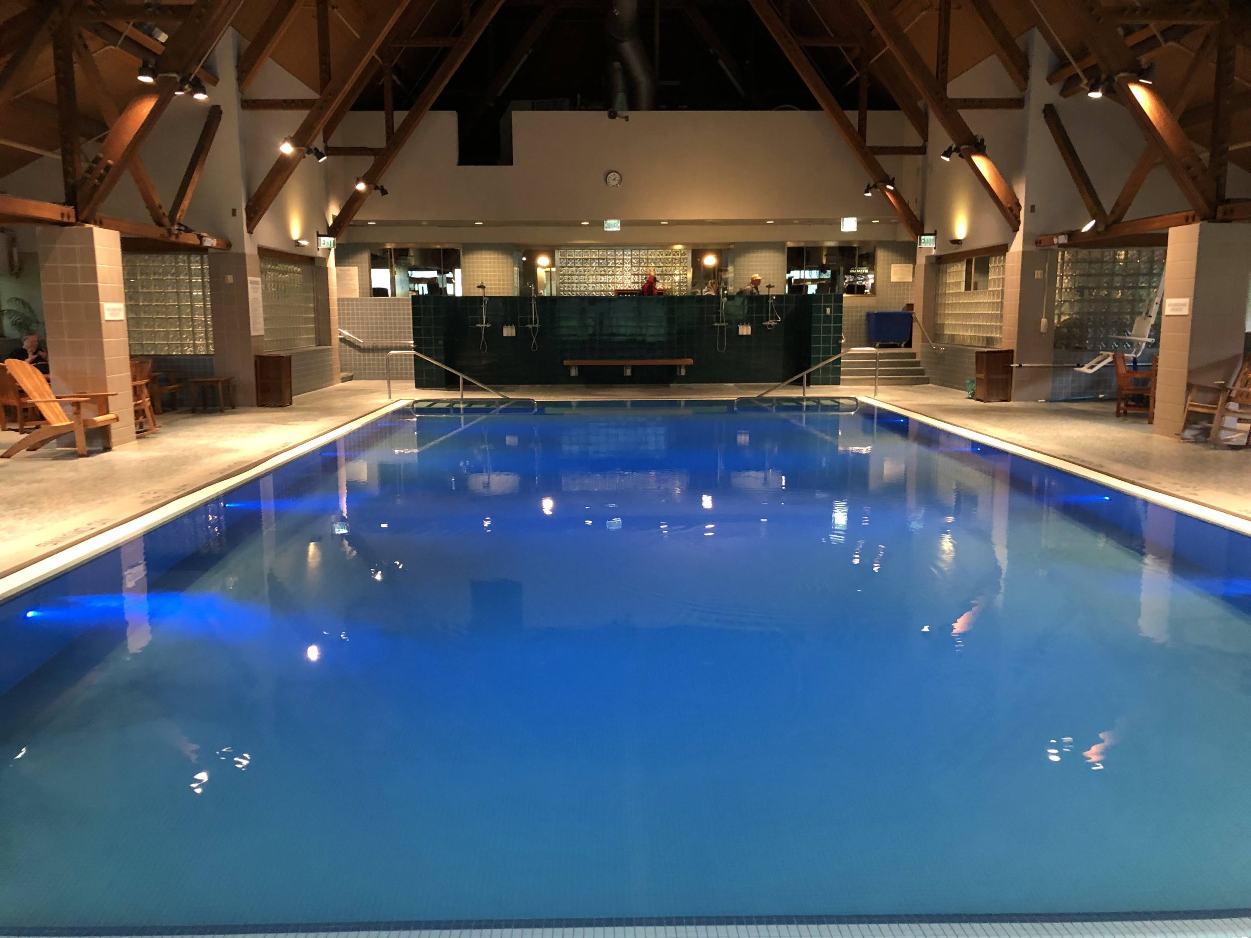
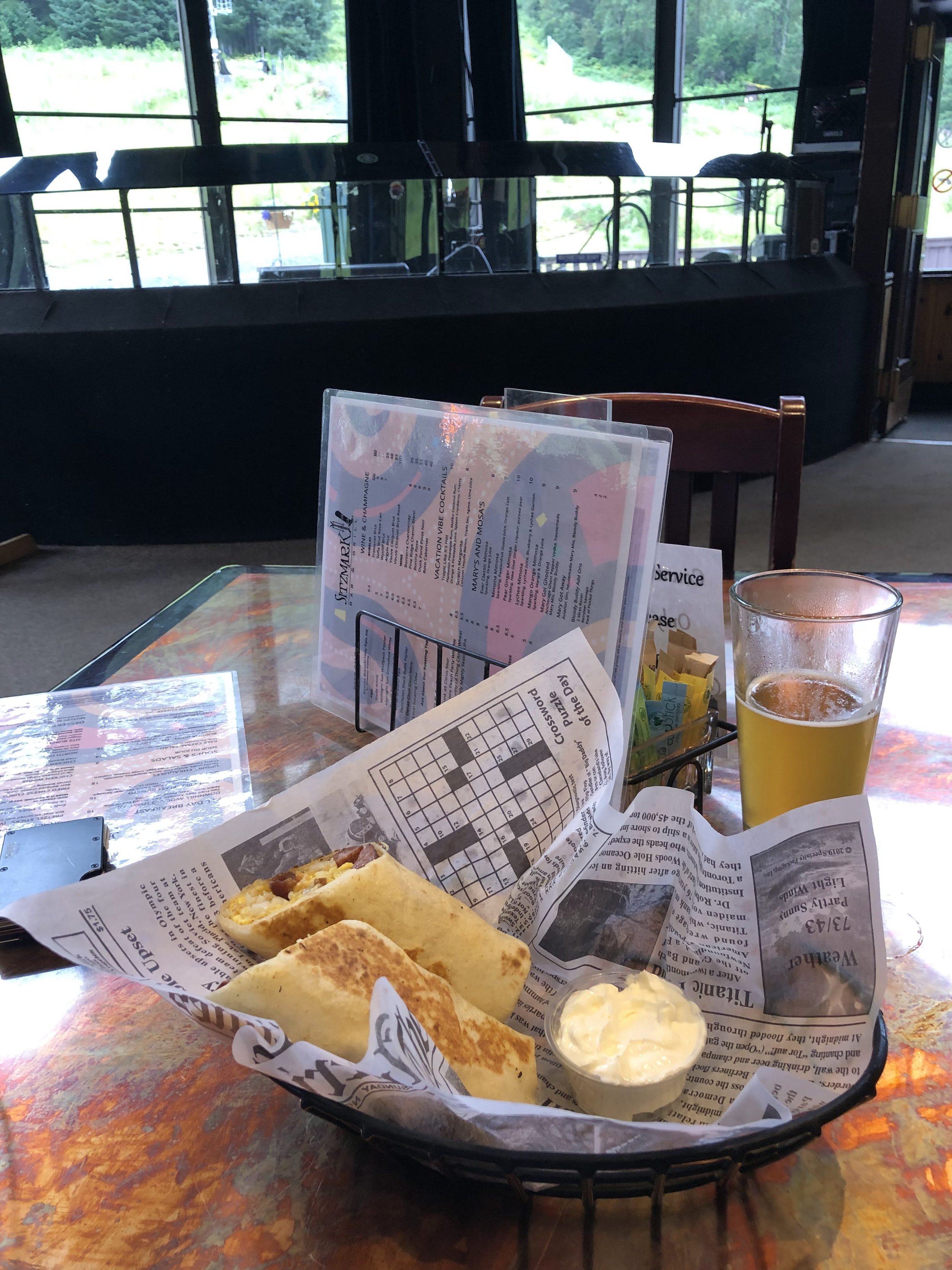
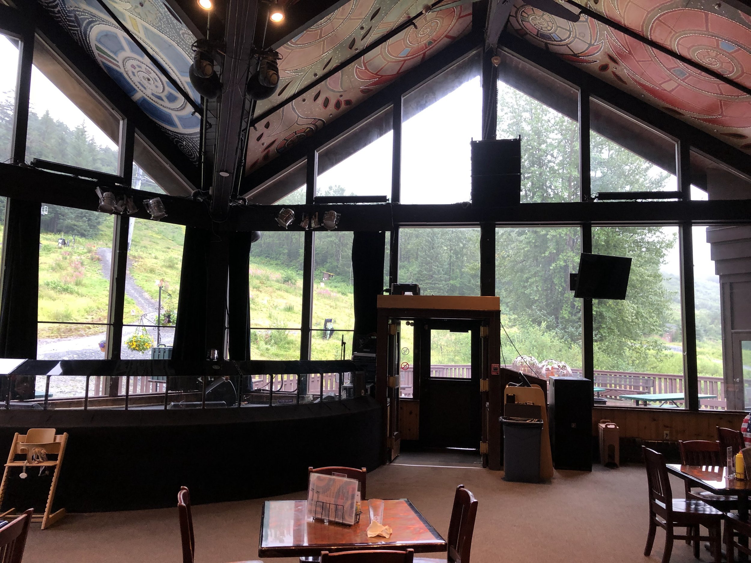
Right as I finished my run, the skies opened up with a massive rain storm. I headed back to the resort and took a swim in their salt water pool for an hour. After that, I drove to the Sitzmark Bar and Grill for an excellent breakfast burrito, ice cold beer, and mountains views. After that, I headed to The Grind for a large and tasty iced Americano to stay alert on the drive. I then pointed the car south to head to Whittier, Alaska for my second run of the day.
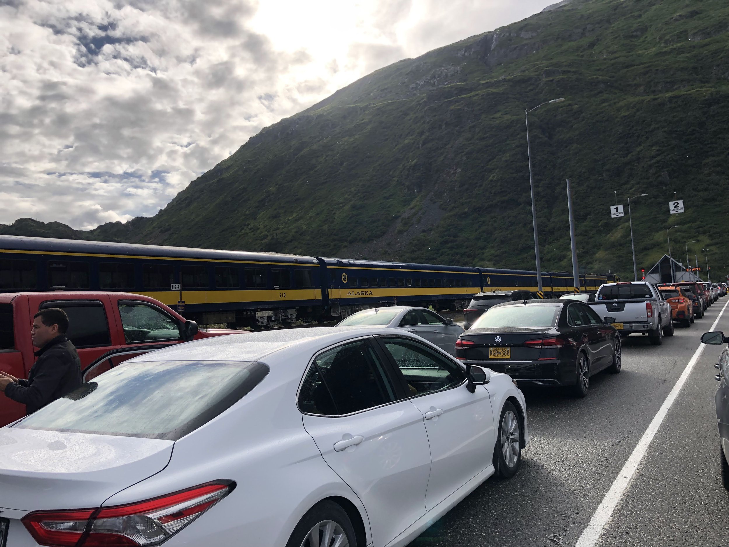
The town of Whittier is the gateway to the Portage Glacier via a trail that’s about 4 miles out and back. A really cool aspect of getting to Whittier is the trip through the Anton Anderson Memorial Tunnel (aka the Whittier Tunnel). It's unique in that it’s only one lane, and it's also the longest combined vehicle-railroad tunnel in North America. At each end of the tunnel there are corrals where the cars, trucks, and RVs wait for the direction of traffic to be changed. I was lucky enough to have no wait when I was heading to Whittier.
But, on the way back, I could see the cars lining up in the corral as I was running down from Portage Pass. I bombed the run as fast as I could so I wouldn’t miss this side of the tunnel opening up. My flight back was at midnight and I had little slack in my schedule to lose 30-60 minutes waiting.
The 4 mile run out and back on the Portage Pass Trail is relatively easy with limited elevation gain (about 1600 feet, 487m) and a very runnable track. Rocky in points, but nothing too bad. The payoff of the run is to be right at the water’s edge with the large glacier out in front of you. While you descend from Portage Pass on the way in you get to see the glacier for much of the run, as well as nice views of the surrounding mountains. There’s a little rocky beach at the end where one can sit and take in the views prior to heading back up the pass and back to your car.
Whittier is also a super interesting place, given that nearly half the town lives in one building, The Begich Towers. In addition, there is a massive cold war artifact, the Buckner Building. Built in the early 1950s by the military to house a base to protect the deep port that isn't closed to ice. Later shutdown in 1966, it has fallen into disrepair, but is too costly to demolish it. For now, it’s a giant relic standing watch over the small town.
While I didn’t get in an ultra distance run on this trip, I had one of my most difficult runs ever because of the intense scrambles up the rock. There are however some long distance trails if you have more time in the area, such as the Crow Pass Trail. What was excellent about my runs on this trip were the views of the surrounding mountains, glaciers, and arms of the Cook Inlet. And, with their proximity to Anchorage, they make for a very convenient ultrarunning destination locations.
Tracks
Cirque Series, Alyeska Course - Girdwood, Alaska
Track
Distance: 6.2 miles (10km)
Elevation Gain: 3800 feet ()
Gallery


Portage Pass Trail - Whittier, Alaska
Track
Distance: 5 miles (8km)
Elevation Gain: 1600 feet (487m)